High Temperatures and Thunderstorms Are Both on the Menu for Melbourne Today
Just another day in paradise.
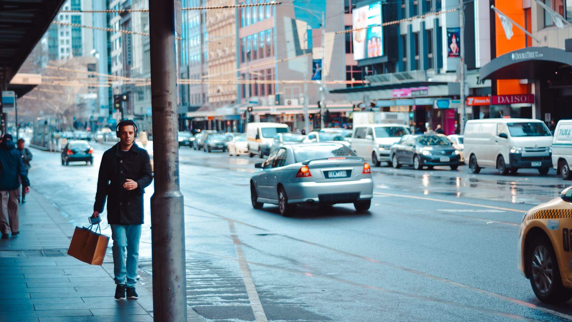
If you were enjoying Melbourne's current bout of hot weather and planning to beach it up over the weekend, we've some bad news: wet and wild weather is on its way.
While the city's set to hit a maximum of 34 degrees today, a cool change is expected to swing through in late the afternoon, with thunderstorms, damaging winds and heavy rain across Melbourne and the state's west.
Today's hot weather comes just one day after centres including Sale, Orbost and Bairnsdale clocked their hottest October day on record. The highest was a hefty 35.8 degrees.
The city's then in for a fairly grisly weekend to kick off the final month of spring. Thunderstorms, heavy rain and damaging winds are likely again on Saturday, with showers across both days and temperatures peaking at just 22 and 23 degrees.
A severe weather warning has been issued for much of the central and northern parts of the state, including Melbourne, on Saturday, with the State Emergency Service advising locals to move cars away from trees, secure loose items and keep clear of fallen power lines. As always, it's suggested you don't walk, ride or drive through flood waters, either.
According to the BOM, the crazy weather is setting us up for a rather dry couple of months. November and December are forecast to be warmer than usual with below-average rainfall, especially across the east coast. That means plenty of sticky nights ahead — best run out and buy that fan now.
In the meantime, prepare for a weekend indoors (or in ponchos). Thankfully, a free new Japanese fashion exhibition has kicked off at the NGV. For more tips on what to do this rainy weekend, check out our events wrap-up.
Stay dry out there. And remember to check Vic Roads, PTV and BOM for warnings and updates.


- The Best Wine Bars in Melbourne
- Where to Find the Best Ice Cream and Gelato in Melbourne
- The 23 Best Sunday Roasts in Melbourne
- The Best Set Menus in Melbourne for Under $100 in 2026
- Dark Arts, Hedonism and Exploration: A Weekender's Guide to Visiting Hobart for Dark Mofo
- The Best Australian Fashion Labels to Know Right Now