Vintage Postcards Using Google Maps
Resembling vintage photos from a bygone era, these time-aged Postcards from Above are actually aerial images taken from Google Maps.
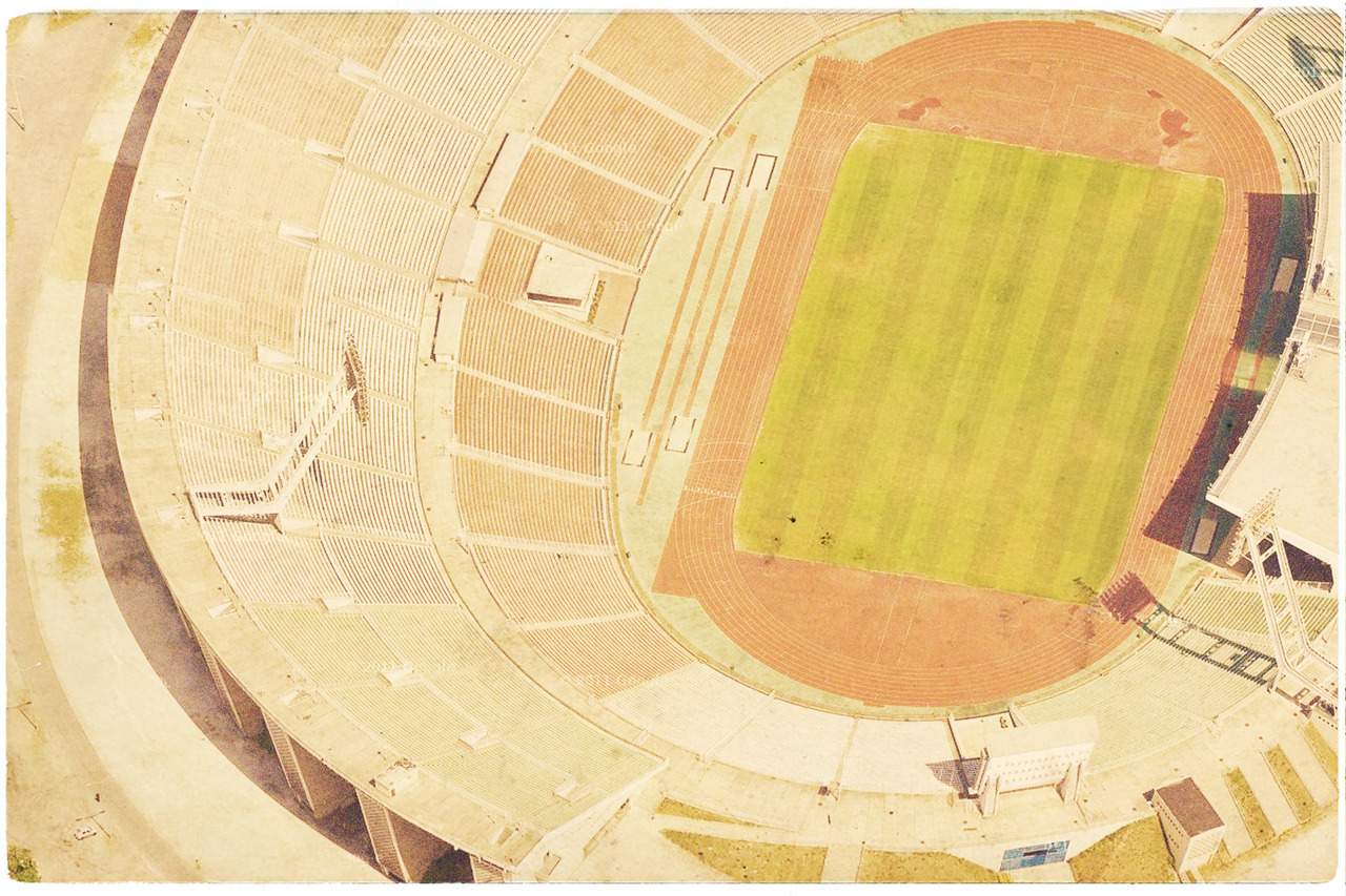

Resembling vintage photos from a bygone era, these time-aged Postcards from Above are actually aerial images taken from Google Maps and reworked by Hungarian art director, Akos Papp, ad agency at BBDO New York. Instead of just using Google Maps as a directory tool, Papp takes snaps of businesses, schools, shipping yards, airports and more, retouching them to look of a 1950s postcard.
Papp was inspired by the idea of being able to show loved ones the various foreign places he has travelled using mesmerising aerial imagery, and creates a pleasant reminder of a way we once communicated.
Here are 12 examples from Akos Papp's collection.
![]()
![]()

![]()
![]()

![]()
![]()

![]()
![]()

![]()
![]()

![]()
![]()

![]()
![]()

![]()
![]()

![]()
![]()

![]()
![]()

![]()
![]()

![]()
![]()

![]()
![]()
Published on October 09, 2012 by
Greta Mayr
Trending
Today
News
Restaurants
Bars
Events


- The Ten Best Hotels in Brisbane
- The Best Glamping Sites Around Australia
- Predicting the Oscars: Who Should, Could and Will Win at the 2025 Academy Awards
- Ten of the Most-Unique and Relaxing Stays You Can Book Around Auckland
- Unique Stays with Breathtaking Views of New Zealand's South Island
- The Most-Impressive Group Stays You Can Book in Byron Bay