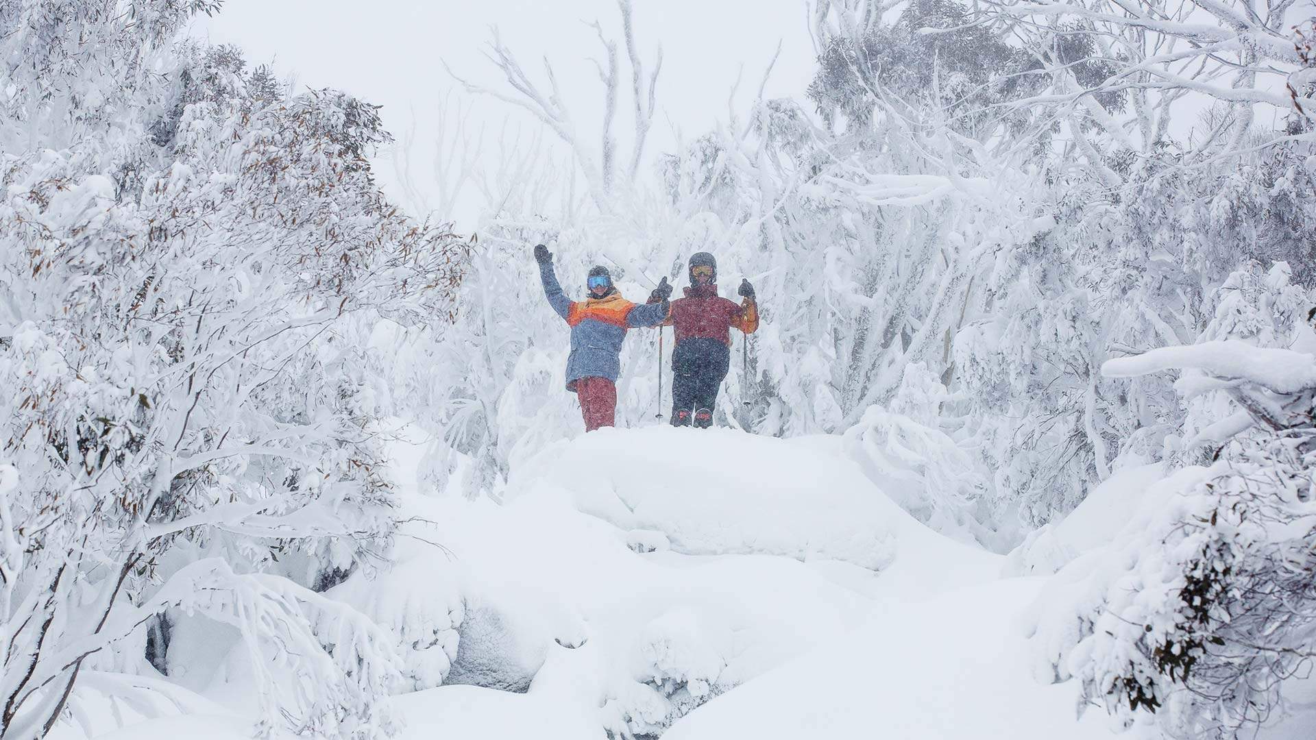
Some of This Winter's Wildest Weather Is Set to Hit NSW and Victoria Across the Next Few Days
Expect rain, wind, thunderstorms and even snow in some low-lying spots.
With just a few weeks left of winter, you might have thought you'd survived the worst of it. But nope, the Bureau of Meteorology has announced a severe weather warning across Australia's southeast, saying the region looks set to cop the strongest weather system it's seen all season over the next few days. That means blustery winds, pouring rain and some very low temperatures, so you'd best start plotting a weekend of Netflix and couch time.
SEVERE WEATHER UPDATE: strongest weather system this winter for SE Australia, with possible sleet/snow on #NSW #Qld border. Video current at 12 pm AEST, 7 August 2019. Check warnings at https://t.co/0iBm75CO79 & follow advice from emergency services pic.twitter.com/0rzydto2yC
— Bureau of Meteorology, Australia (@BOM_au) August 7, 2019
A severe weather warning for Victoria reveals the state's due for some damaging winds, with gusts of between 90 and 100 kilometres per hour developing across western regions today and moving into eastern parts by tonight. NSW is forecast to cop the same wild, windy conditions from this afternoon, with plenty of showers across the southern inland parts spreading further up the coast to Sydney tonight.
A series of cold fronts are set to hit most of NSW through until Sunday, so you can expect blustery conditions for your weekend, with possible thunderstorms to match. Sydney's expected to dip to lows of 11 degrees tomorrow and to 8 degrees across the weekend, though that wind chill factor will make it feel a whole lot frostier. (It may be a little chilly at the City2Surf start line.) It's good news for snow bunnies, however, with solid snowfalls forecast for Thredbo and Perisher.
Down south, Melbourne's in for even chillier conditions, with a temperature top of just 13 degrees today, 11 degrees on Friday and Saturday, and 12 degrees to round out the weekend. Rain is pretty much a given across all four days and there's a strong chance of thunderstorms. Alpine regions even look set to score blizzards tonight and again Friday morning, including snow fields Hotham, Falls Creek and Mt Buller. Between 50 centimetres–one metre of fresh snow is forecast to dump across those slopes. But even if you're not hitting the mountain, you could still see some of the white stuff — there's potential snow forecast for low lying areas across Victoria, Tasmania and New South Wales.
Top image: Thredbo


