Google Maps Will Soon Be Able to Direct You Towards Environmentally Friendly Travel Routes
Using traffic congestion and road incline data, it'll help you get around town in the most eco-friendly way.

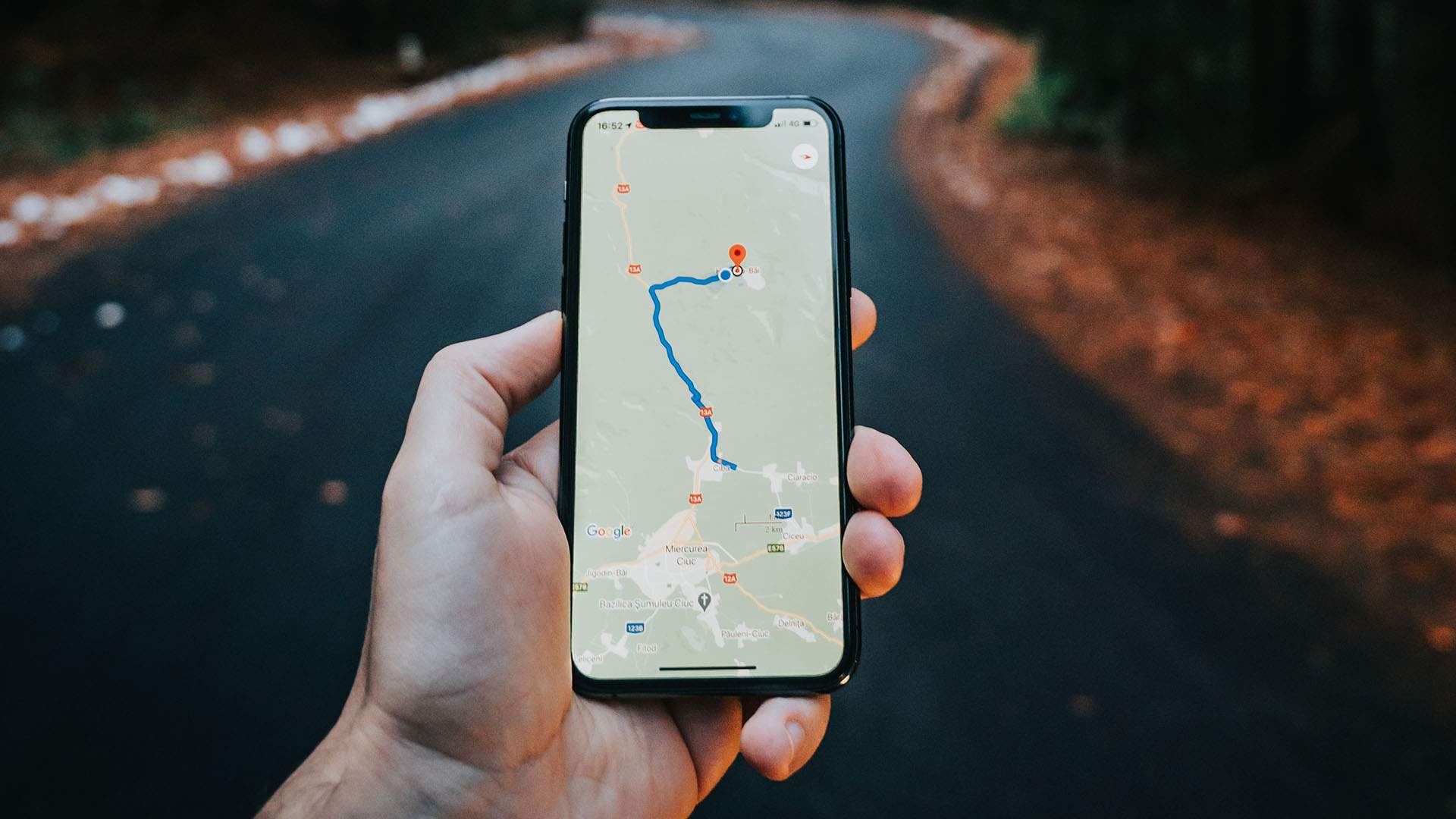
Navigation sure isn't everyone's strong point, but thank goodness for smartphones and maps, right? Well, soon getting around is about to get even easier, because the folks at Google have announced a whole swag of new features set to be rolled out in Google Maps this year. The app is being pimped out with over 100 artificial intelligence-powered improvements, including tools to help you pick the most eco-friendly travel options, helpful weather insights and even more foolproof navigation functions.
In good news for anyone trying to live a little greener, one new Maps feature will identify the most environmentally friendly routes you can take to lower fuel consumption, even displaying the various CO2 impacts of your different route options. The model has been built based on factors like traffic congestion and road incline, using insights and data from the US Department of Energy's National Renewable Energy Lab. And if the route with the lowest carbon footprint has a similar ETA to your fastest suggested route, Google Maps will default to the greener option — unless you override it.
You'll also be able to easily compare different modes of transportation to find the most eco-friendly choices, with your preferred modes automatically prioritised. The updates are aimed at helping users minimise their environmental footprint, in line with Google's ambitious sustainability goals. They'll come into effect in the US on both Android and iOS later this year, with a global launch to follow.
Another update will see a new weather layer added to Maps, offering a snapshot of the current and forecast conditions in the area you're travelling to — so you can avoid any surprise downpours. There's also a new layer showing air quality, which will be rolled out in Australia, India and the USA before the rest of the world. This one gives an indication of how healthy the air is, targeted at places where there can be excessive smog or smoke haze.
And that sinking feeling you get when you realise you've been wandering in the opposite direction to where you want to go while moseying through an airport, transit station or shopping centre? You can say goodbye to that, thanks to the soon-to-launch 'live view' function. It uses AI scanning technology to help get a comprehensive read on your orientation. When using the feature, handy augmented reality cues and arrows will pop up on your Maps screen, showing you how to find things like the nearest elevator or bathroom. Currently available in Chicago, Long Island, Los Angeles, Newark, San Francisco, San Jose and Seattle before rolling out to Tokyo and Zurich in the coming months — with more cities planned after that — we're sure that one will come in especially handy in hectic airports when we're eventually allowed to jaunt off overseas again.
The new Google Maps updates are slated to become available this year. For more details, see the company's website.


- Dark Arts, Hedonism and Exploration: A Weekender's Guide to Visiting Hobart for Dark Mofo
- The Best Australian Fashion Labels to Know Right Now
- CP Picks: The Best Gifts for People Who Are Never Home — According to Travel Writers
- The Ten Best Hotels in Brisbane
- The Nine Best Coastal Spots for Whale Watching Across Australia
- The Best Pubs in Brisbane for 2026