All Public Transport Services in Southeast Queensland Are Cancelled From Thursday Until Further Notice
CityCats and ferries have already stopped running, and now buses and trains will cease after the last service on Wednesday, March 5, 2025.
With Tropical Cyclone Alfred approaching southeast Queensland, and expected to make landfall overnight between Thursday, March 6–Friday, March 7, 2025, it's far from business as usual in Brisbane and on the Gold and Sunshine coasts right now. Venues are closing and events are cancelling. Schools will be closed from Thursday. Public transport services will be suspended from then, too, with buses and trains joining the already-stopped CityCat and ferry services.
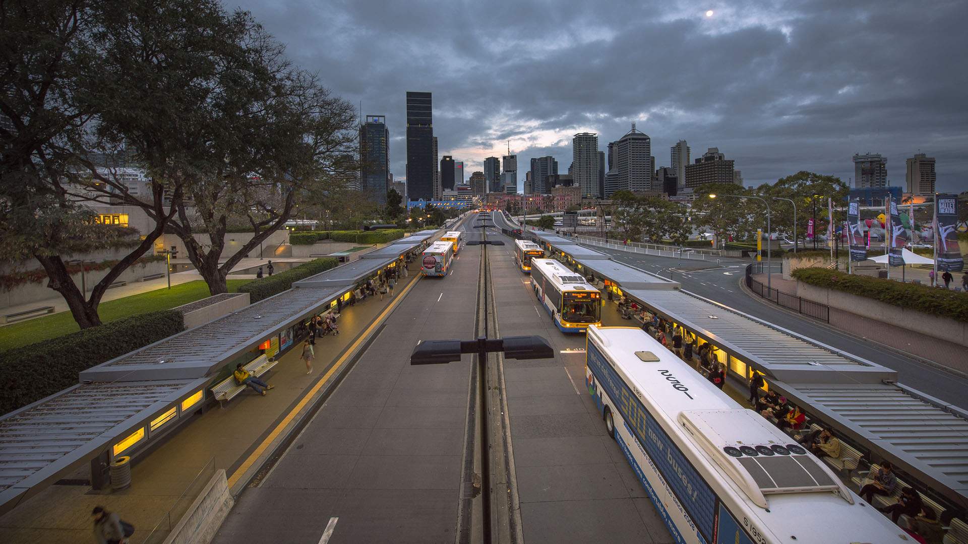
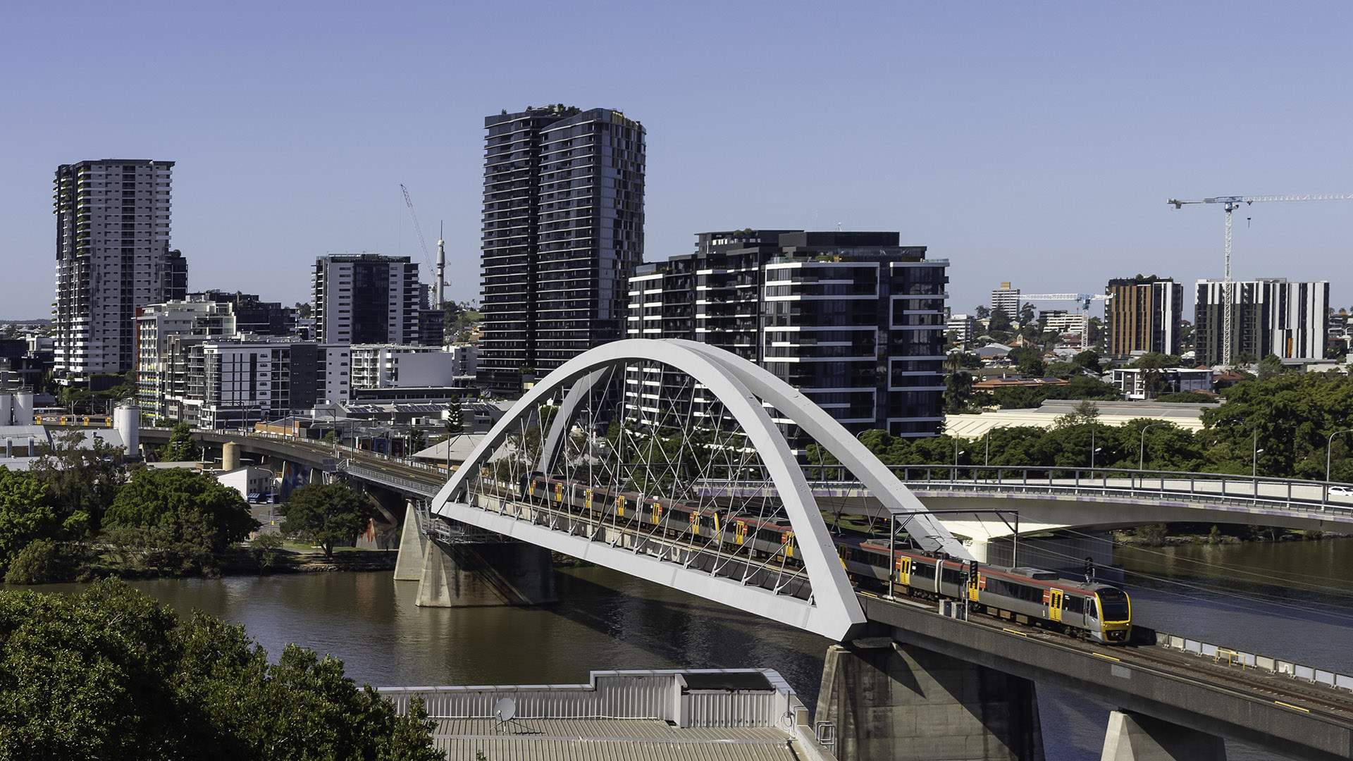
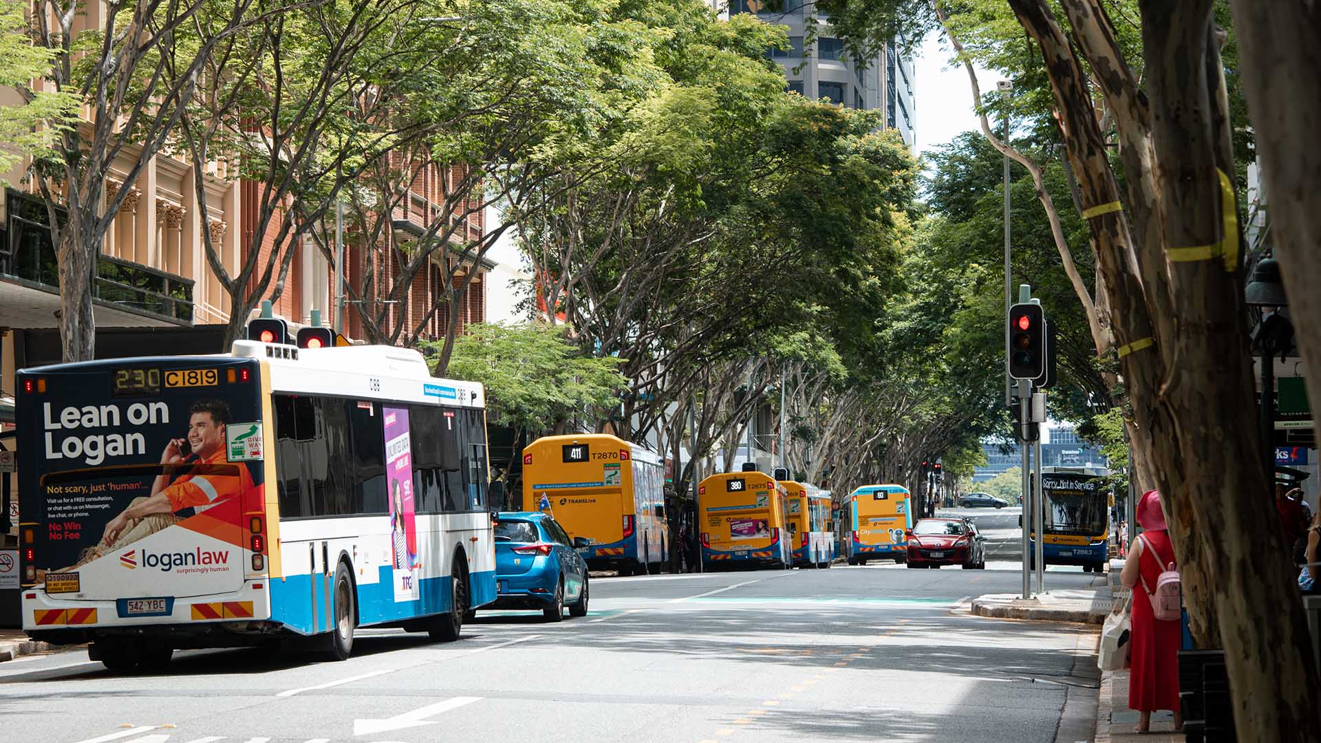
Bus services will be suspended from the last service on Wednesday, March 5 — and so will rail services. As with the area's river-based forms of transport, buses and trains are cancelled until further notice.
View this post on Instagram
For buses, if you're wondering which companies are impacted, the short answer is all of them. The long answer: Brisbane City Council Buses, Mount Gravatt Coach and Travel, Transdev Queensland, Hornibrook Buslines, Thompsons Bus Services, Kangaroo Bus Lines, Kinetic Gold Coast, Kinetic Sunshine Coast, Glasshouse Country Coaches, Westside Bus Lines in Ipswich, and Christenson's Bus and Coach in Kilcoy, as well as Bus Queensland in Toowoomba and the Lockyer Valley, and Clarks Logan City and Park Ridge Transit in Logan.
If you are heading out on foot in Brisbane's inner city, the Story Bridge footpaths are also closing, effective from 5.30pm on Wednesday, March 5 — and, again, until further notice.
View this post on Instagram
Brisbane's CityCats and ferries ran their last services until further notice on Monday, March 3. As at midnight the same day, all ferry terminals, between UQ St Lucia and Northshore Hamilton have also closed.
Currently at Category 2 at the time of writing, Tropical Cyclone Alfred is working its way towards the southeast Queensland coast at 16 kilometres per hour, and is expected to hit land between Maroochydore and Coolangatta. Wind gusts of up to 120 kilometres per hour are predicted from Wednesday, then up to 155 kilometres per hour from Thursday afternoon. Heavy rainfall is expected from Thursday, which may cause flash floooding, and a storm tide could occur on Friday morning if the cyclone crosses the coast at high tide.
To keep up to date with the latest conditions, warnings, alerts and timetables, Brisbanites can head to the below services:
- The Bureau of Meteorology's Queensland warnings page, tropical cyclone advice, Queensland X and Facebook
- Brisbane City Council's emergency dashboard
- Queensland Government's disaster site
- Brisbane City Council's X and Facebook
- Translink's website, X, Facebook and Instagram
- Queensland Fire and Emergency Services's website, X, Facebook and Instagram
- Qld Traffic
Stay safe and dry out there, Queenslanders.
Brisbane City Council will continue to update its emergency dashboard. For transport news, head to the Translink website.
The Bureau of Meteorology will continue to update its warnings and maps regularly — visit its website for further details.


- Dark Arts, Hedonism and Exploration: A Weekender's Guide to Visiting Hobart for Dark Mofo
- The Best Australian Fashion Labels to Know Right Now
- CP Picks: The Best Gifts for People Who Are Never Home — According to Travel Writers
- The Ten Best Hotels in Brisbane
- The Nine Best Coastal Spots for Whale Watching Across Australia
- The Best Pubs in Brisbane for 2026