Overview
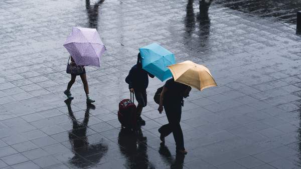
It's only the fourth day of 2021, which usually means sweltering weather and blue skies. But summer in Australia is also synonymous with storms, and one is coming Sydney's way — so if you're currently reading this from somewhere dry and cosy, we suggest that you keep it that way for the rest of your Monday afternoon.
Sydney isn't just in for any old wet weather, either. In a 'Detailed Severe Thunderstorm Warning' released this afternoon, the Bureau of Meteorology has advised that "flash flooding and damaging winds" are likely as storms sweep through Richmond, Camden, Penrith and Picton, then hit Parramatta, Campbelltown, Liverpool and Bowral, and then affect Hornsby, Sutherland, Wollongong, Sydney Airport, Sydney Olympic Park, the Sydney Harbour Bridge and Cessnock. The wild weather is predicted to impact Parramatta from around 4.20pm, then make its way to the CBD by 4.50pm.
BOM will issue another update by 4.55pm.
Sydneysiders can also expect large hailstones and heavy rainfall, BOM noted on Twitter, as the line of severe storms makes its way across the city.
As the storms approach today, the usual common sense tactics obviously apply: secure loose outdoor items and stay inside. NSW State Emergency Services' number is 132 500 if you need its assistance.
While the storms are only expected to make their presence known today, wet weather is forecast to hang around until the weekend. There's a 60-percent chance of showers on Tuesday, 70 percent on Wednesday, 50 percent on Thursday and Friday, and 40 percent on Saturday.
Stay dry out there. And remember to check Live Traffic, Transport Info and BOM for warnings and updates.