A Severe Weather Warning for Heavy Rainfall and Potential Flooding Has Been Issued for Sydney
Stay safe and dry — between 90–150 millimetres of rain is forecast.
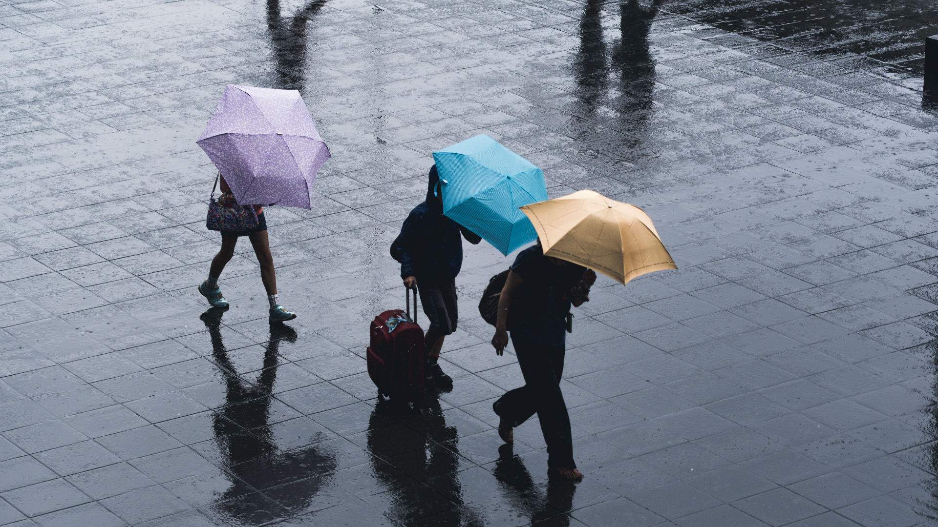
When the weekend hits, heading out and enjoying the city usually sits high on most folks' agendas. Today, Saturday, March 20, staying out of the wet conditions is recommended instead. Following on from forecasts earlier in the week, the Bureau of Meteorology has issued a severe weather warning for Sydney for today — with heavy rainfall, damaging winds and surf, and likely flash flooding all expected.
The warning spans from the mid-north coast and Hunter regions to metropolitan Sydney, and also to Illawarra and parts of the Central Tablelands. It's expected that over the next 12 hours, the intense rain will be concentrated in the eastern Hunter region, metro Sydney, eastern Central Tablelands and Illawarra. Between 90–150 millimetres of rain is currently predicted in Sydney alone — up from yesterday's forecast of 60–120 millimetres — so yes, there'll be torrents of water falling from above.
BOM advises that roads are likely to be cut off by water, there's an increased risk of landslips and river flooding is possible. A warning for possible major flooding of the Hawkesbury, Nepean and Colo rivers northwest of Sydney has been issued.
Winds are also expected to get up to 40 kilometres per hour in Sydney — and to exceed 90 kilometres per hour along the Hunter coast, where waves of up to five metres are predicted.
Yesterday, Premier Gladys Berejiklian asked residents across the city and state to stay close to home over the weekend due to the downpour. "Normally we're telling people to travel around New South Wales, but this weekend is an exception," she said. "If you did have plans to travel on the roads, please reconsider. We just want everybody to stay around and close to their home and to be safe."
In the past 24 hours, plenty of rain has already fallen across the state, including between 300–400 millimetres around Port Macquarie. A flood evacuation order has been issued for the area — plus Taree, Dungog, Wingham, Cundletown, Lower Macleay, North Haven, Dunbogan and Laurieton — by the NSW State Emergency Service (SES).
In an update this morning, NSW SES Deputy Commissioner Daniel Austin said that the service has received almost 3200 requests for assistance, including 800 overnight — and more than 300 flood rescues. "There's some 26 catchments that have some level of flood watch or flood warning over them, ranging right the way from the mid-north coast down into the Illawarra, and the surrounding areas also cop the brunt of that as well," he advised.
If you're wondering what's behind the severe conditions, BOM advises that a low-pressure trough along the NSW coast is causing widespread and persistent rain, plus windy conditions. It's also combining with a strong high-pressure system to the south to bring windy weather to higher parts of the southern ranges.
The heaviest rain is expected to fall within the next 24 hours, but may continue in some areas through until Tuesday. In Sydney, 45–60 millimetres is forecast on Sunday, 20–50 millimetres on Monday and 20–35 millimetres on Tuesday, before falling down to under two millimetres on Wednesday.
BOM is continuing to issue a heap of warnings, which are worth keeping an eye on — especially if you do need to head out. Don't forget to pack your umbrellas and raincoats, too.
And, as usual with potential flooding, the SES recommends you don't walk, drive or ride your bike through flood water.
As the weather conditions continue to develop, stay up to date with the latest forecast and weather warnings via the Bureau of Meteorology and the NSW State Emergency Service.


