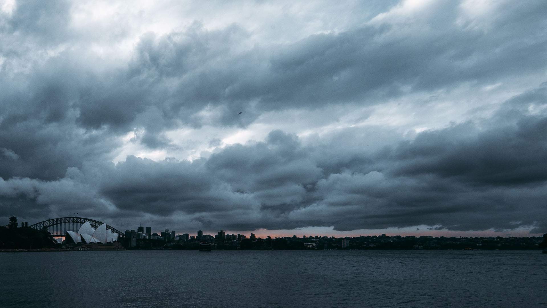
Australia Looks Set for a Particularly Wet Summer with an Increased Risk of Flooding
And a greater risk of tropical cyclones up north, too.
Every quarter, Australia's Bureau of Meteorology releases its climate outlook for the coming season, signalling to the country just what type of weather might be in store. For the winter just gone, for example, it advised that we were in for hotter and wetter-than-average conditions. And, for both spring and summer, it's now predicting plenty of warm-weather rain.
BOM's spring forecast was actually released at the end of August, noting two key points. First, it advised that there's a high likelihood of above-average rainfall across this period. Secondly, it noted that temperatures are likely to be average or even slightly below average in the nation's south, and warmer than usual in the country's north. Since then, however, the Bureau has issued two further statements about spring and summer's weather — with the latest stressing that there's an increased chance of flooding and cyclones.
Thanks to BOM's severe weather outlook, it's sensible to expect damp conditions from October through until April, as a result of La Niña. The news follows an announcement at the end of September, when the Bureau revealed that the coupled ocean-atmosphere phenomenon was now active in the Pacific Ocean, and was likely to remain that way until at least the end of 2020. Some La Niña events can last around a year.
When it comes to flooding, BOM advises that because La Niña is expected to bring more rain to Australia's east and north, the risk of widespread flooding increases. It also notes that rain has already been hitting some drought-affected areas.
In regards to tropical cyclones, it predicts that there's an increased risk in the country's north. "On average, Australia sees nine to 11 tropical cyclones each year, with four crossing the coast. With La Niña this year we are expecting to see slightly more tropical cyclones than average, and the first one may arrive earlier than normal," said Bureau climatologist Greg Browning.
BOM also advised that there's average potential for heatwaves and severe thunderstorms across the coming months.
In good news after last year's catastrophic bushfire season, the Bureau is forecasting average fire conditions for the rest of 2020 and the beginning of 2021, too, as linked to the wetter weather. "This fire season, we're expecting wetter than average conditions in eastern and northern Australia, so long-running large bushfires are less likely; however, a wetter spring can lead to abundant grass growth, which could increase fire danger as it naturally dries during summer," noted Browning.
If you're wondering what all of the above means, temperature-wise, it depends on the state. Queensland is never cool once spring and summer hits, but above-average temps are particularly forecast for the state's northern half. In New South Wales and Victoria, higher-than-average temperatures are predicted, with longer and more humid heatwaves possible in NSW's south and across the entirety of Victoria. The latter also applies to South Australia, although it might be in for fewer days of extreme heat. Western Australia can expect higher-than-average temperatures across the state, especially in the northeast.
For further details about the Bureau of Meteorology's spring and summer forecasts, check out its spring outlook and severe weather outlook.


