Google Maps Helps You Find Your Way Out of Ikea
We'll never get lost in modular Billy bookcases again.
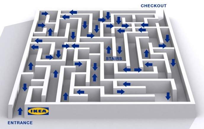
We've all been there. You are walking through Ikea, looking for that green flower print pillow cover or flexible floor lamp, when you somehow get lost in the kitchen section. Well, now you have a way out, thanks to Google Maps for Android.
Google has expanded its cartography and announced that it is moving into the great Australian indoors. So now when you step off the street into the gargantuan megaplexes that house the biggest thing to come out of Sweden since ABBA, you no longer have to look silly asking for directions at every turn.
More than 200 other iconic indoor locations across Australia have also been mapped, including Flinders Street Station, Sydney Opera House and Crown Casino in Melbourne, as well as many Westfield shopping centres. The bulk of the sites are in New South Wales and Victoria, but Adelaide Airport and Brisbane Convention and Exhibition Centre proudly represent their respective states and many more locations are on their way.
The technology largely relies on local wi-fi networks and is currently only available on Android devices. No news of if or when the technology will be available for iPhone users.
So if you're on Android, find your way indoors and head straight to that Gronkulla.


- Dark Arts, Hedonism and Exploration: A Weekender's Guide to Visiting Hobart for Dark Mofo
- The Best Australian Fashion Labels to Know Right Now
- The 12 Best Walks In and Around Sydney
- Sydney's Best Bottomless Brunches
- CP Picks: The Best Gifts for People Who Are Never Home — According to Travel Writers
- The Ten Best Hotels in Brisbane