This Just In: Forecasts Are Pointing to a Possible "Super El Niño" In 2026 — Here's How That Could Affect You
As the regular weather cycle shifts into the dry phase, experts are warning that the next few months could be some of the driest on record.
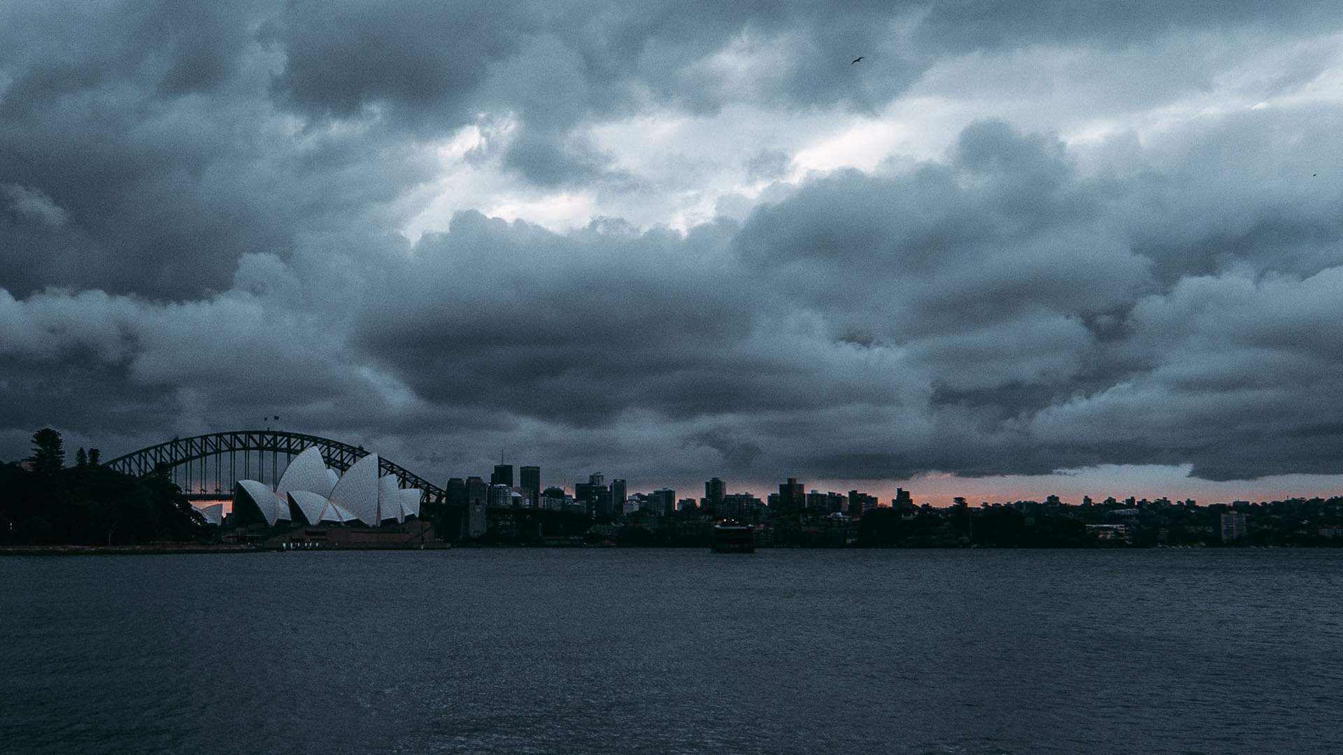
Although we're now over a month into autumn, we're far from the classically autumnal weather. Temperatures remain stubbornly high around Australia, and new long-range forecasts have made this mild annoyance into an ominous portent for the weather we can expect later in the year. A number of signals are pointing to an El Niño event in the coming weeks that could be one of the strongest on record.
If you're unfamiliar — El Niño and La Niña are the two halves of a natural weather cycle, akin to an invisible pendulum in the Pacific Ocean, conditions swinging from one side to the other on a regular basis and affecting global weather in a big way.
El Niño emerges when ocean surface temperatures in the tropical Pacific are elevated by 0.5 degrees Celsius for an extended period, disrupting the high-altitude airflow that brings moisture across the Pacific from the Americas, leading to reduced cloud cover and rainfall across Australasia. It's not necessarily a period of heat, but of dryness.
The ominous name "Super El Niño" is used when the ocean warms by two degrees Celsius or more. At the time of writing, the Bureau of Meteorology is predicting that the threshold will be crossed in August, and could exceed 2.5 degrees by spring, but cautions that long-range prediction models can change as time goes on.
One factor under consideration is the recent frequency of tropical cyclones in the South Pacific this year, which could accelerate the oceanic warming process that ends the current La Niña period and kicks El Niño into gear.
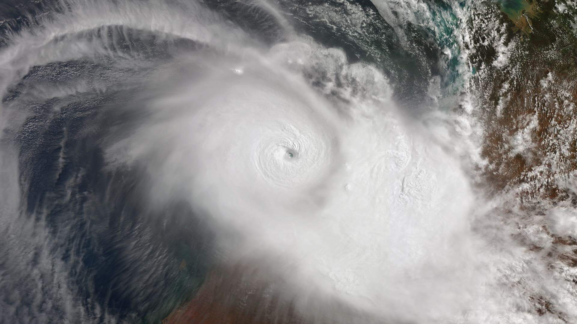
Tropical Cyclone Zelia via Getty
There have been three periods of Super El Niños in the modern weather record: 1982, 1997 and 2015, each of which saw some of the driest winters and hottest summers on record (at the time). But how could this affect Australia in 2026?
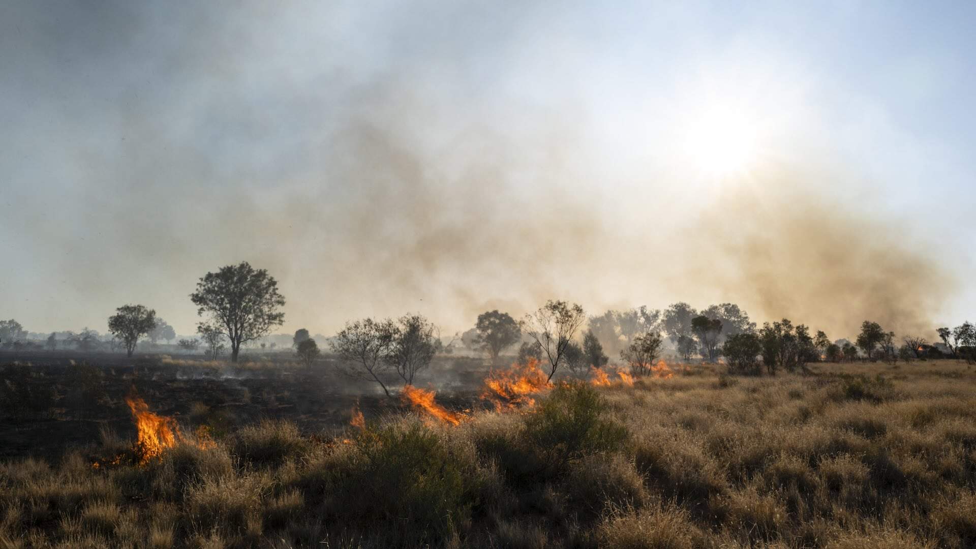
Generally speaking, El Niño strips cloud clover and the benefits it provides. That means colder, frosty nights and thin and underwhelming snowfall throughout winter, before elevated daytime temperatures in spring and summer and a longer, harsher fire season. Good news for northern Australia at least, the barrage of cyclones and monsoons in the tropics will relent.
At this point, El Niño is likely, but a Super El Niño isn't a total guarantee. And even if it does enter the super range, that's not a guarantee of severe weather events. It just increases the likelihood of them. But when it comes to extreme weather, it's always best to be prepared.
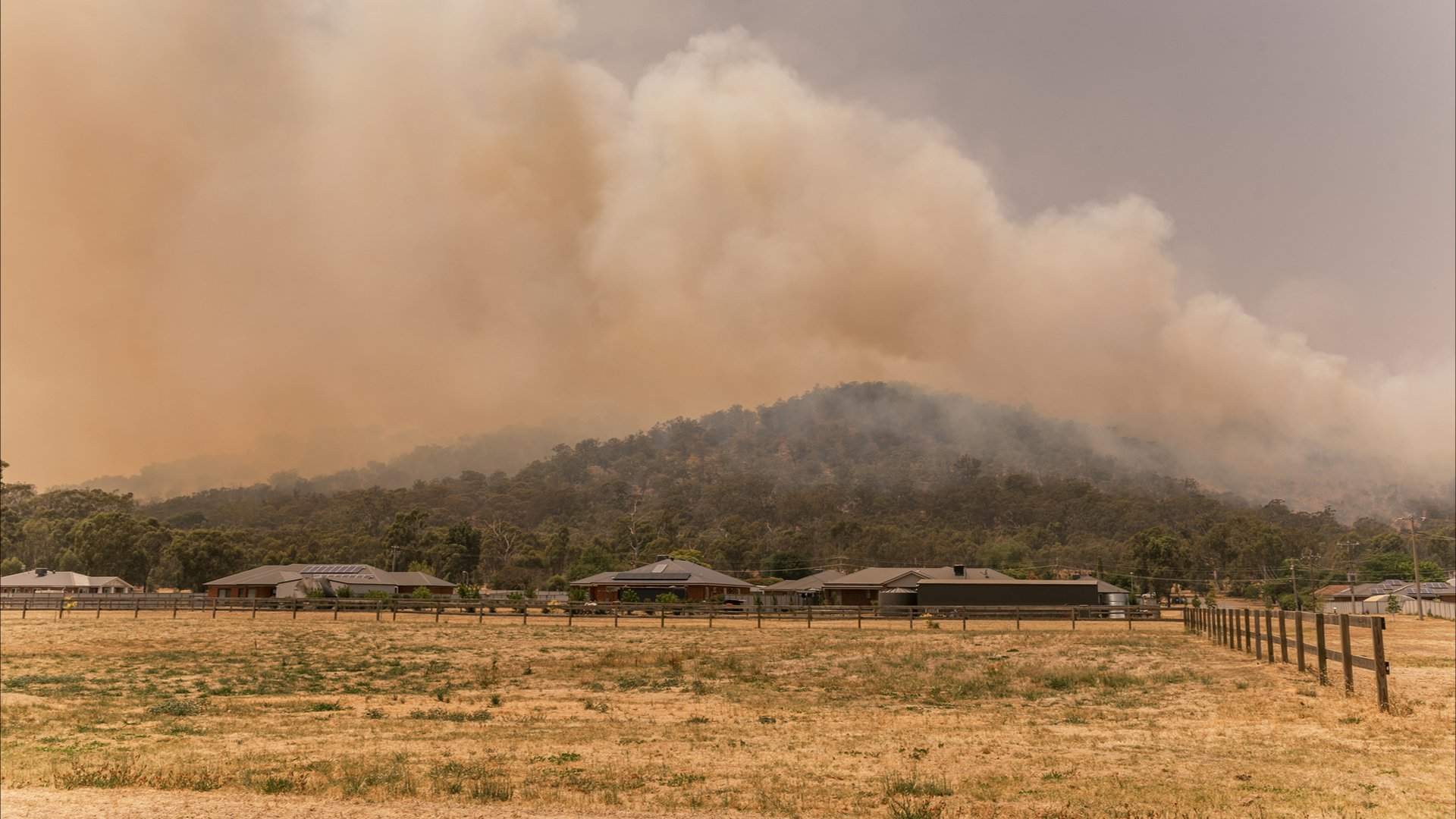
Credit: iStock/Beverley Van Praagh.
For dry summers, there are easy ways to be ready for the worst. If your property has grass, bushes or trees, keep them trimmed and clear away dead and dry plant matter. For the worst-case scenario, visit My Fire Plan to help prepare your property and family for a disaster. In NSW, you can download the Hazards Near Me app for alerts of fires or extreme weather near you, and Victorians can do the same on the VicEmergency app — otherwise the READI app offers disaster information near you, nationwide.
Lead image: Getty
Like what you see? Subscribe to the Concrete Playground newsletter to get stories just like these straight to your inbox.


- Dark Arts, Hedonism and Exploration: A Weekender's Guide to Visiting Hobart for Dark Mofo
- The Best Australian Fashion Brands to Know Right Now
- The 12 Best Walks In and Around Sydney
- Sydney's Best Bottomless Brunches
- CP Picks: The Best Gifts for People Who Are Never Home — According to Travel Writers
- The Ten Best Hotels in Brisbane