Sydney Is About to Get Hit by a Heap of Rain so Prepare Your Brollies
After a warm weekend, thunderstorms, strong winds and a cool change are coming for Sydney.
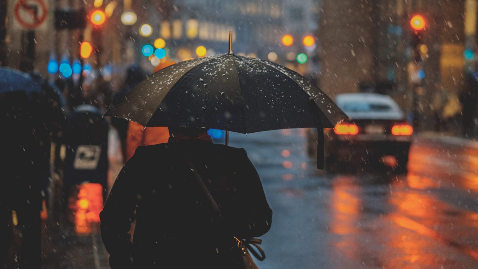
If you just spent the weekend in Sydney, you're probably still on a high from the stellar spring weather the city experienced. But don't discard your malfunctioning umbrella and pack away your raincoat for the year just yet. Just take a second to pause and look out the window. The rains are (almost) 'ere.
As recorded by the Bureau of Meteorology, a cold change has swiftly taken over the city. Temps reached a high of 26.8 degrees around midday, but, after dropping seven degrees in an hour, it's now a much milder 17 degrees.
And that's just the start of it. BoM also predicts that the city will be hit with up to 45mm of rain tonight and tomorrow. If this prediction is correct, according to the news.com.au, it'll be the most rainfall parts of the state will have seen in more than three months.
A strong change is continuing to move up the #NSW coast. It's producing wide spread #wind gusts of 40 to 60 km/hr & caused temperatures in #Sydney to drop seven degrees in 1 hour. Heavy #rain likely to begin in some coastal areas tonight. Local forecasts https://t.co/GDfKaldIMo pic.twitter.com/RAa9xeANCU
— Bureau of Meteorology, New South Wales (@BOM_NSW) September 16, 2019
The majority of the rain expected to hit tonight and tomorrow, Tuesday, September 17 — which is set to be a tad cooler than today with a high of 17 degrees. Thunderstorms and strong winds will hit Sydney tomorrow, and a hazardous surf warning has been issued for Sydney, as well as the Hunter, Illawarra and Macquarie coasts. So we suggest saving any swimming or surfing adventures for another day.
Hopefully the rain will help water supplies in regional NSW — some of which are getting dangerously low — and ease dangerous fire warnings in the Hunter. Sadly, the rainfall doesn't look like it will reach the bushfires burning in Queensland.


