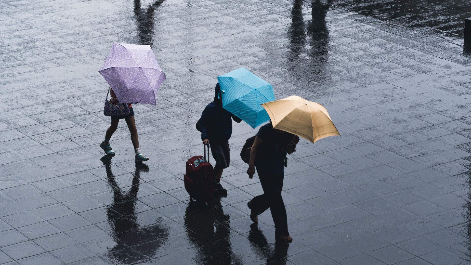
A Severe Thunderstorm Warning Has Been Issued for Sydney So Stay Safe and Dry
Lots of rain, hail and wind is expected.
It just got real dark in Sydney. And in Sydney during the warmer months, that only means one thing: a storm is coming. So if you're currently reading this from somewhere dry, warm and cosy, we suggest that you keep it that way for the rest of the afternoon.
And not just any old wet weather, either. The Bureau of Meteorology has reported that severe storms, damaging winds, flash flooding and large hail is on its way, which is looking to affect Sydney, Hunter, Central Tablelands and parts of the Mid North Coast, North West Slopes, Central West Slopes and Northern Tablelands.
Taking a peek at its nifty colour-coded map, below, it looks like the northern beaches is going to be worst hit, too.
With storms come falling trees (and sometimes falling powerlines) and the State Emergency Service is advising locals to move cars away from trees, secure loose items and keep clear of fallen power lines. As always, it's suggested you don't walk, ride or drive through flood waters, either.
The wild weather looks to continue into tomorrow, Tuesday, November 26, with the BOM forecasting an 80 percent chance of showers in the afternoon and a possibly severe thunderstorm in the evening. The rest of the week is expected to be sunny and in the high-20s, before more wet weather and possible storms return on the weekend.
As Sydney prepares for level two water restrictions — and dam levels dip below 50 percent — the rain is very much needed, but the storms could be problematic for firefighters who continue to fight blazes across the state. RFS spokesman James Morris told the SMH that the rain was "hampering containment efforts" and the lightning strikes could prove "a ticking time bomb".
Stay dry out there. And remember to check Live Traffic, Transport Info and BOM for warnings and updates.


