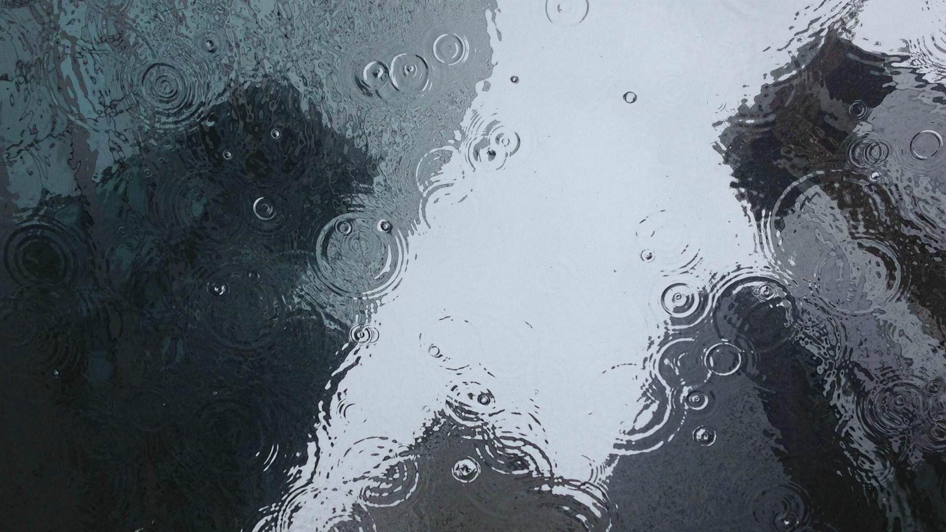
Almost an Entire Month of Rain Poured Down on Sydney Over the Past 24 Hours
Premier Gladys Berejiklian has called the current conditions across the state a "deep-seated, extreme weather event".
Sydneysiders, if you're currently reading this from somewhere dry, warm and cosy, we suggest that you keep it that way for the time being. After an extremely wet few days, more downpours are expected until Tuesday, March 23, with the city likely to more than double its usual average March rainfall in just a six-day period.
In the 24 hours to 9am today, Sunday, March 21, a whopping 110.4 millimetres of rain was measured at Sydney's Observatory Hill. To put that figure in context, Sydney's average rainfall for the entirety of March is 131.6 millimetres — so the city fell just shy of the entire monthly average in just a single day.
Up to 130 millimetres of rain is forecast for the city between today and Tuesday, too, which means that the city faces another month's worth of rain in just the next three days.
The torrents of water streaming from the sky started on Thursday, March 18, with 54.4 millimetres of rain measured at Sydney's Observatory Hill in the 24 hours to 9am on Friday, March 10. That was followed by 47.6 millimetres until 9am on Saturday, March 20.
Another 15–30 millimetres is forecast for the rest of Sunday, between 25–50 is expected on Monday and between 35–50 is predicted for Tuesday. At a press conference today, BOM Senior Climatologist Agata Imielska confirmed that "over the last 24 hours, we have seen very large rainfall totals are across the Greater Sydney area into the Hunter and mid-north coast. That rainfall will continue".
This isn't any old wet weather. The Bureau of Meteorology warned midweek that heavy falls were expected and, on Friday, Premier Gladys Berejiklian asked residents across the city and state to stay close to home over the weekend due to the downpour. A severe weather warning for heavy rainfall and potential flooding was issued for Sydney on Saturday morning, and currently remains in place.
Yesterday, Premier Berejiklian also called the current conditions a "deep-seated, extreme weather event" — as a result not only of the huge amounts of rain across the state, but also flooding along the mid-north coast. Elsewhere, the Parramatta River has once again broken its banks, flooding the proposed Powerhouse Museum site as it did in 2020. A mini-tornado hit Chester Hill on Saturday, too. And, Sydney's Warragamba Dam — the city's main water source — has also spilled over, starting on Saturday afternoon.
Some areas in Sydney's northwest were also ordered to evacuate overnight due to rain levels in the Hawkesbury-Nepean valley area. BOM Flood Operations Manager Justin Robinson said today that "at Penrith, we are expecting river levels at Penrith to be levels near the 1961 flood. To give you some context, that is bigger than the February 2020 flood. It is bigger than the 1988 flood. It is bigger than the 1990 flood, and it is bigger than the 1964 flood — it is one of the biggest floods we are likely to see for a very long time".
At the same press conference, Imielska advised that "over the next 12-24 hours, the focus will be on the mid-north coast once again". But, in some good news, "Wednesday is when we are expecting to see a proper break in the weather. There will still be a shower or two, a bit of activity, but significantly lighter rainfall. Wednesday will be the first day when we could see a bit of reprieve across the state".
If you do need to head out in Sydney while the current conditions continue, don't forget to pack your umbrellas and raincoats, and to be safe in general. And, as usual with potential flooding, the SES recommends you don't walk, drive or ride your bike through flood water.
As the weather conditions continue to develop, stay up to date with the latest forecast and weather warnings via the Bureau of Meteorology and the NSW State Emergency Service.


